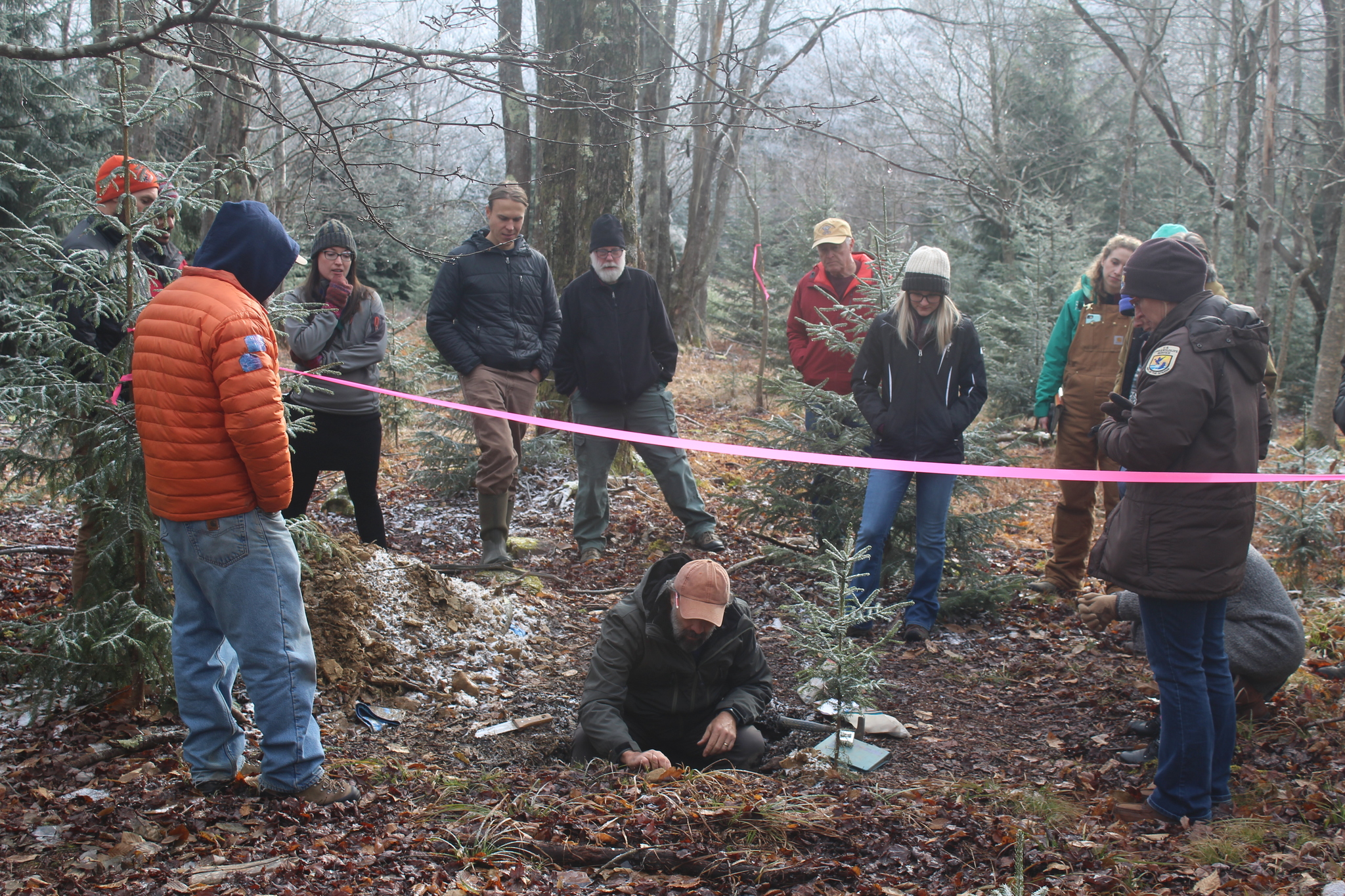
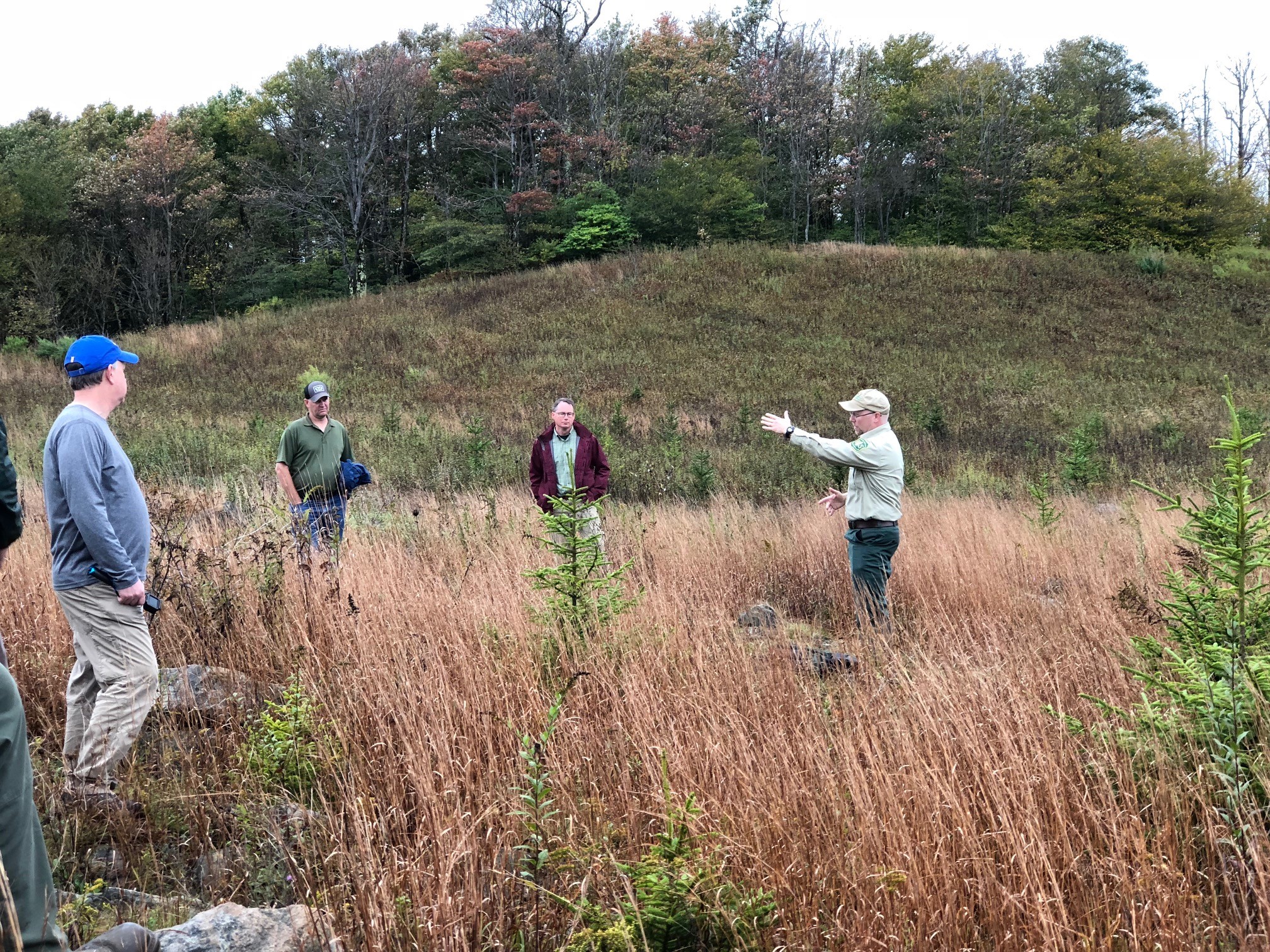
Restoring historic red spruce-northern hardwood ecosystems. Together.
2
tchs_red_spruce_planting
SharpsKnob planting3
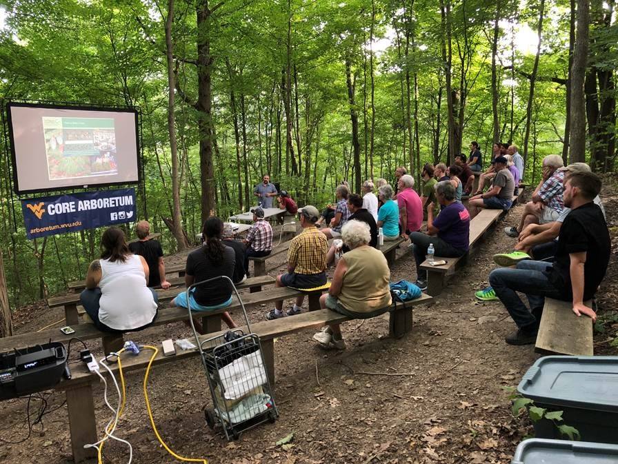
The Central Appalachian Spruce Restoration Initiative (CASRI) is a partnership of diverse interests with a common goal of restoring historic red spruce-northern hardwood ecosystems across the high elevation landscapes of Central Appalachia. It is comprised of private, state, federal, and non-governmental organizations which recognize the importance of this ecosystem for its ecological, aesthetic, recreational, economic, and cultural values.
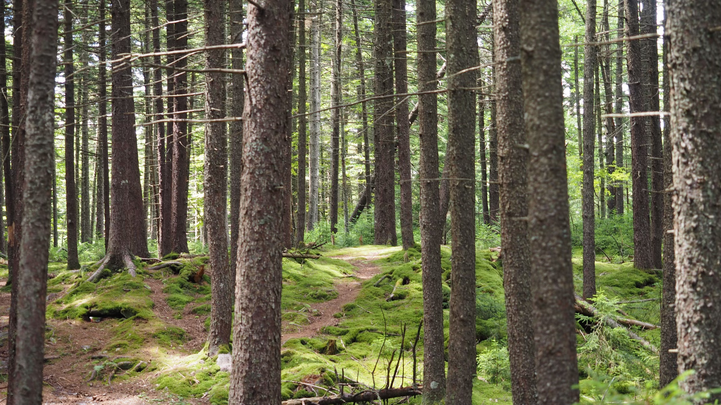
West Virginia’s Red Spruce Forests
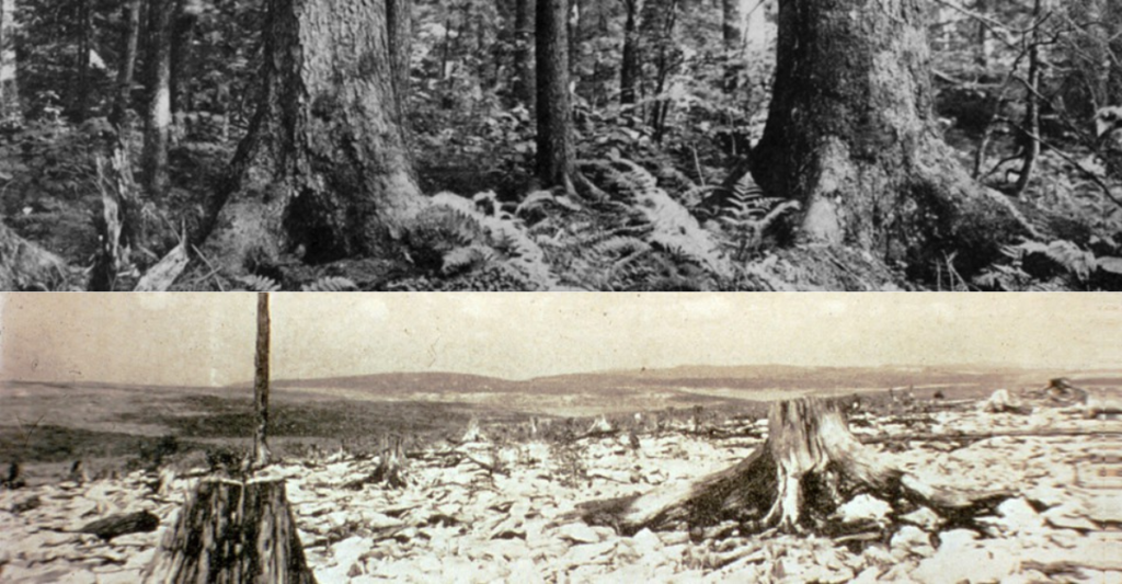
Red spruce and red spruce-northern hard-wood forests once dominated the highest elevations of West Virginia, covering more than 500,000 acres. Extensive logging in the late 1800s and early 1900s reduced much of the mature forest in the Appalachians, including the red spruce-dominated stands. Today only about 29,600 acres of high elevation red spruce forests remain in the State.
1
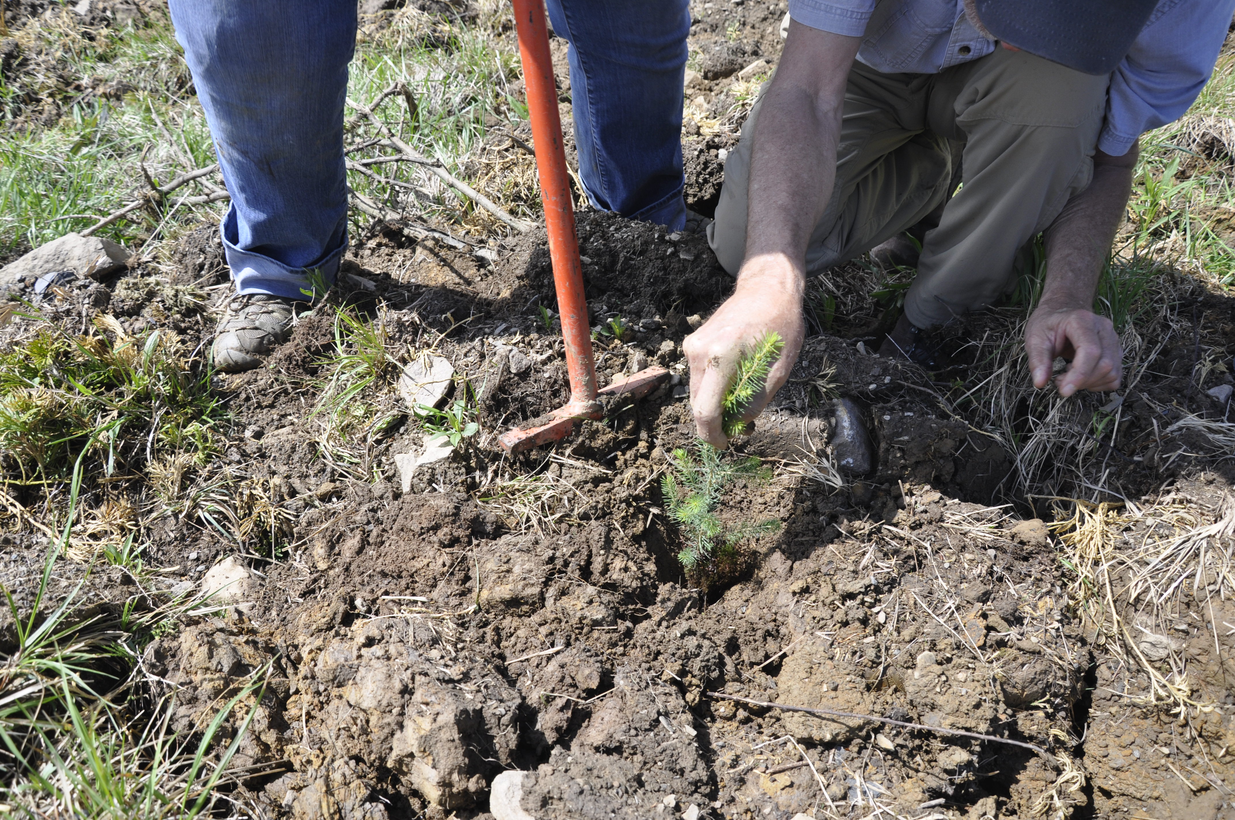
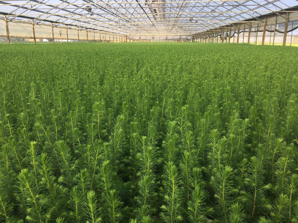
We've planted more than 1 million red spruce and other native trees and shrubs to restore a variety of red spruce ecosystems.